Mississippi River Flight - Day Four - Part One
Washington, Iowa to Creve Coeur Airport, St. Louis
|
|
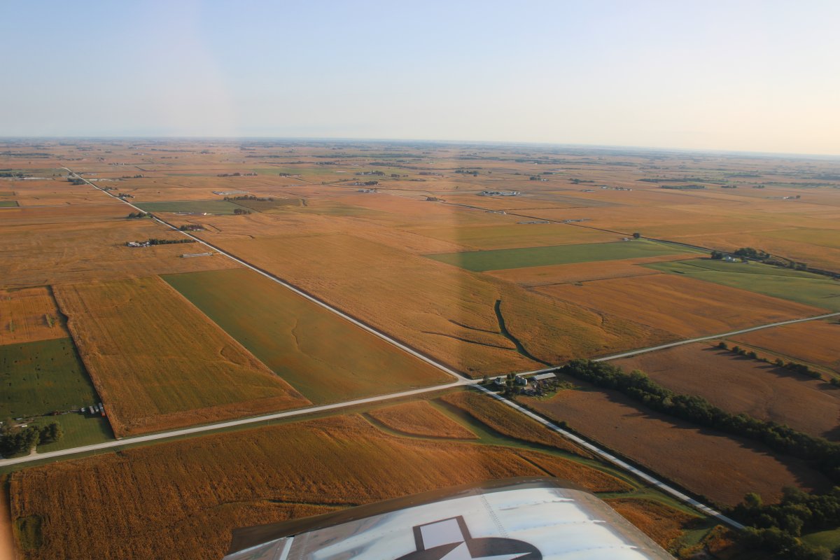
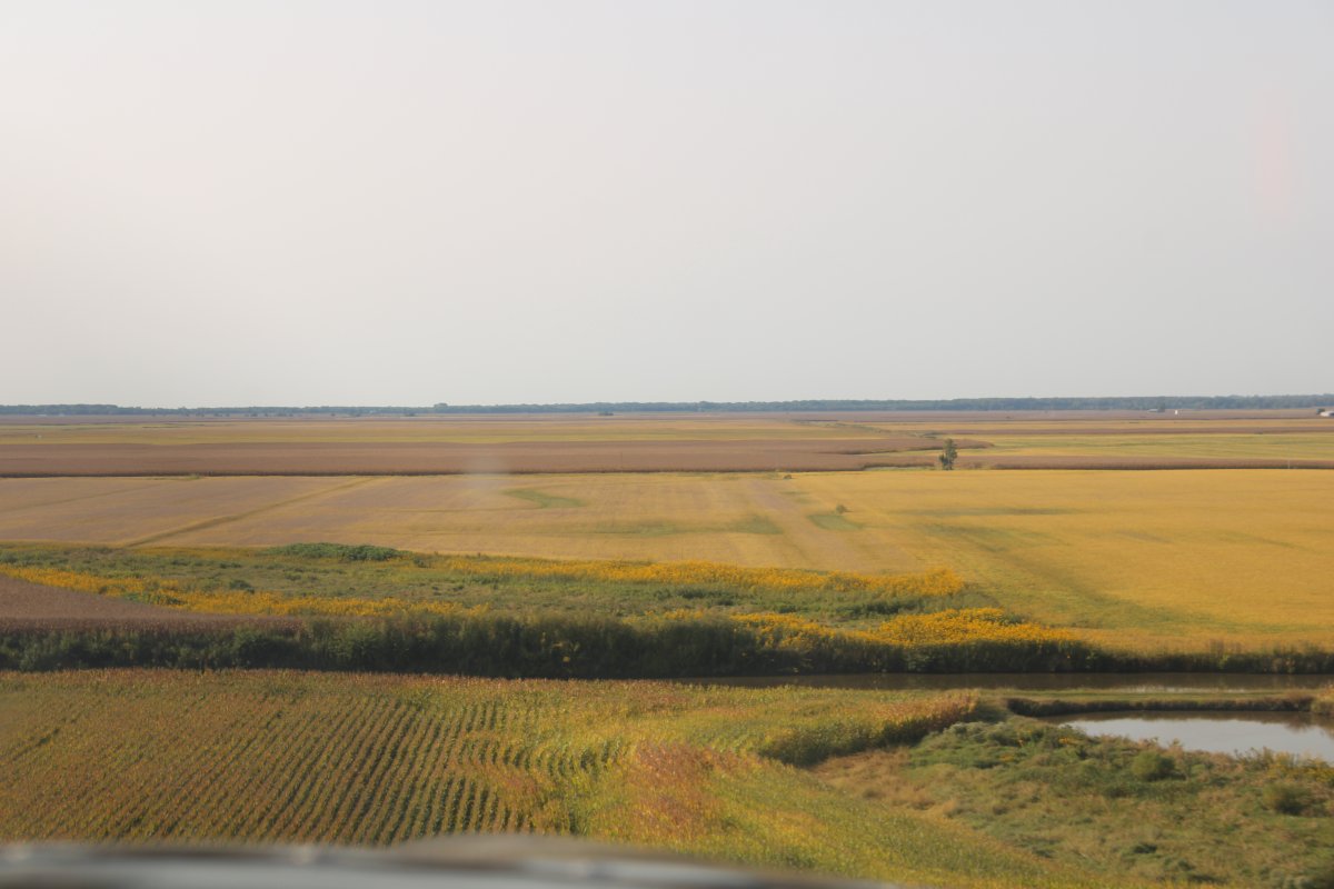
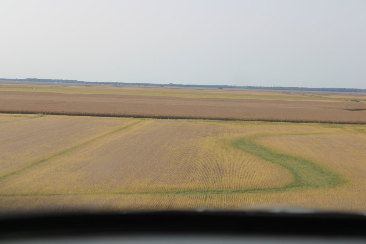
Departing Washington, Iowa, I had to fly over miles of cornfields on the way to the river.
My usual routine in the morning was leave the plastic card key at the motel front desk, maybe get a cup of coffee there if they had it, put some gas into the courtesy car, maybe buy a donut and snacksat the gas station convenience store, then head for the airport. I never had a big breakfast in the morning on this trip; I just wasn't hungry that early. I was usually in the air around an hour or so after wake up.
|
| |
 |
|
|
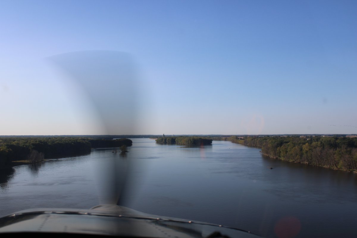
Back on the river, heading south. The air was always smooth and cool in the morning; it was the best time to fly.
|
| |
 |
|
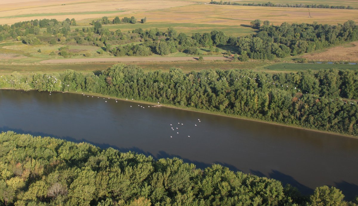
| A big flock of white birds flying low over the river. |
| |
 |
|
|
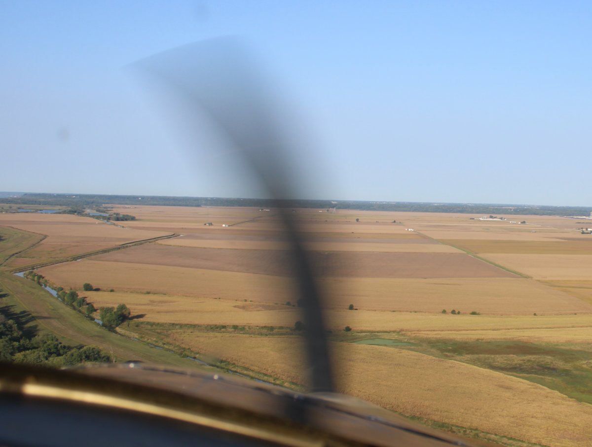
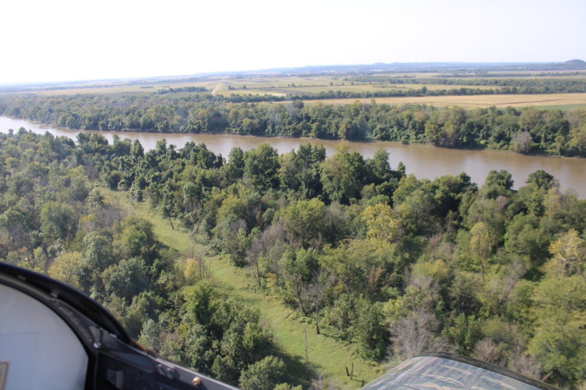
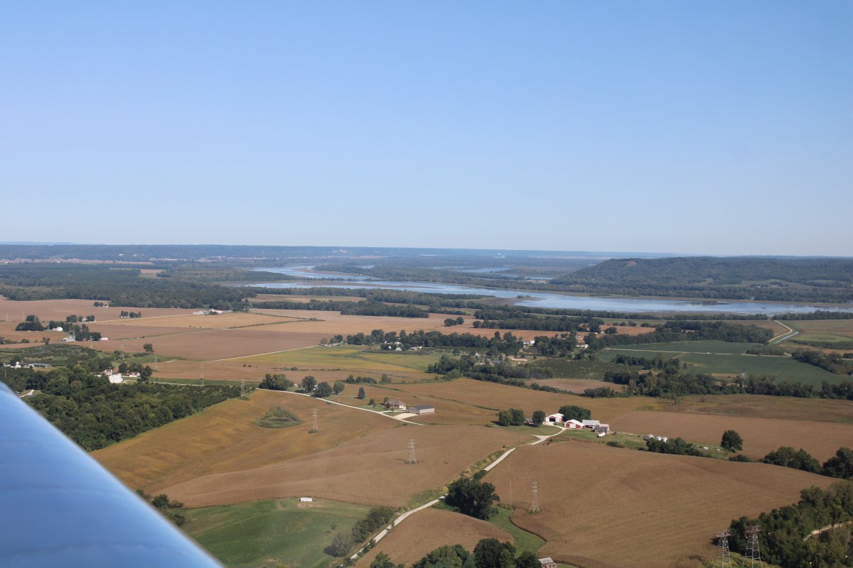
Sometimes I would break off and check out the huge fields on the sides of the river.
|
| |
 |
|
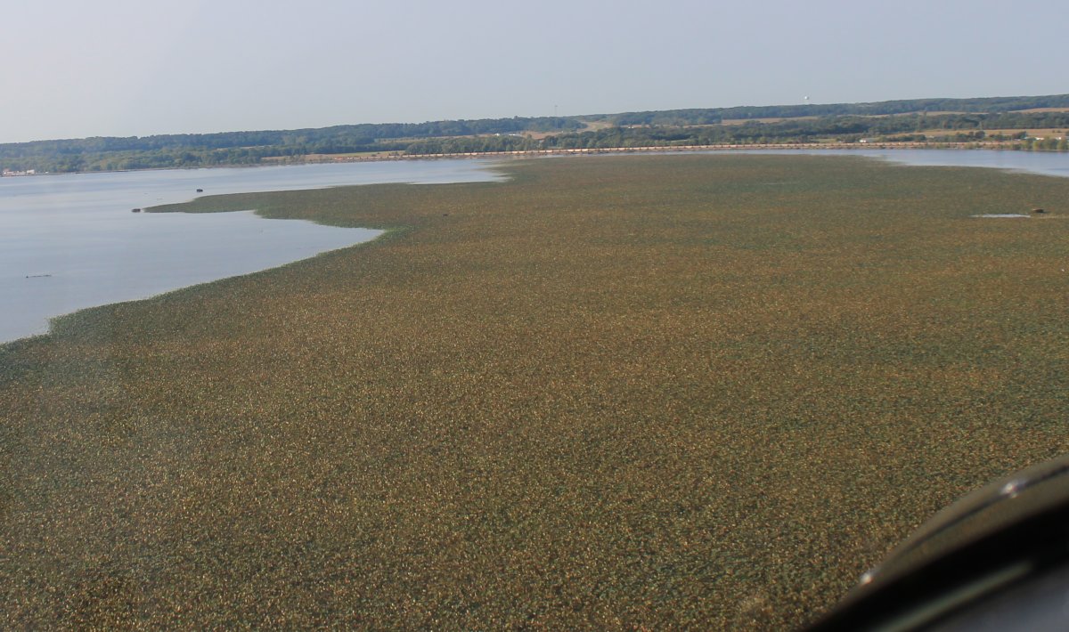
| Flying low over a huge "vegetation island". |
| |
 |
|
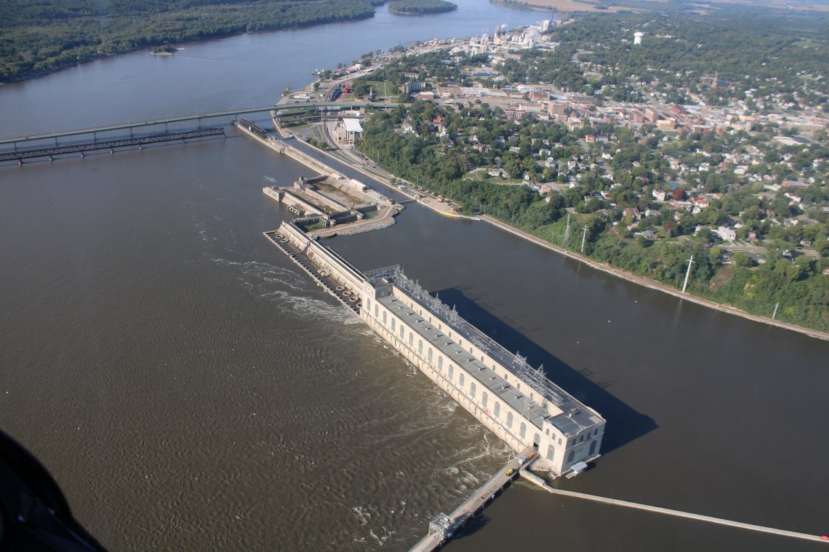
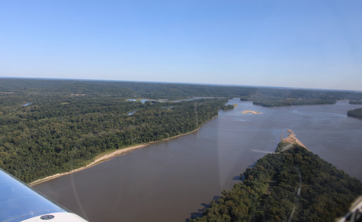
| Lock and Dams #19 at Keokuk, Iowa. It and the hydroelectric power plant were built in 1913. They still use most of the original equipment, although the Lock was replaced in 1957 with a larger 1200' x 110' lock. |
| |
 |
|
|
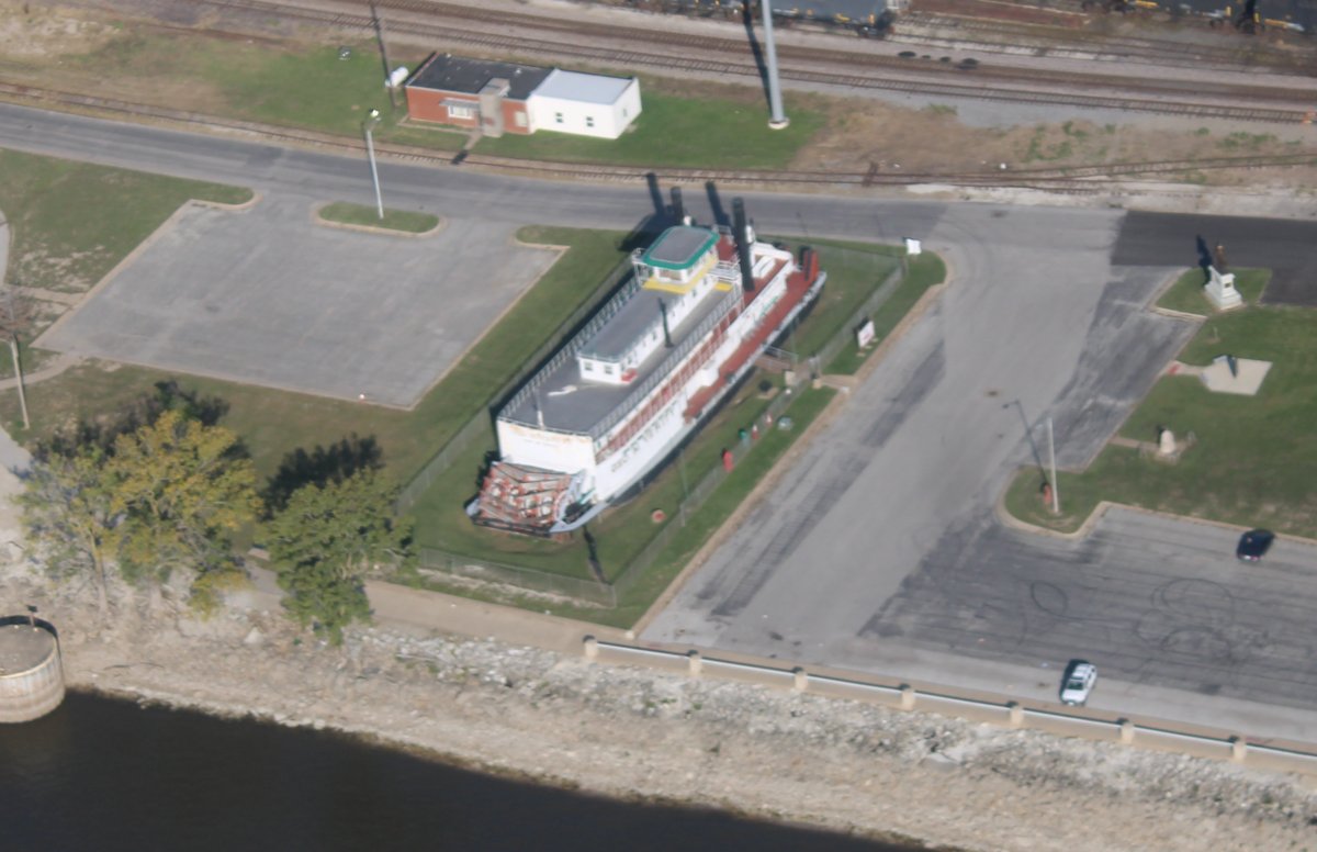
The only paddle steam boat I would see on the Mississippi River trip. It is the Keokuk George M. Verity River Museum.
Built in 1927 as SS Thorpe and retired in 1060, the George M. Verity is nationally significant for being one of only three surviving steam-powered towboats in existence in the United States.
|
| |
 |
|
|
I had brought two quarts of oil -- all I had -- on this trip, thinking I would be able to buy more at airports along the way, as I had in the past on my long cross-countries. I should have bought more at Port Bucyrus but I hadn't. Now, all the airports I was stopping at were unattended and so I couldn't get oil. I had enough oil in the plane for today but I needed more oil. So I headed for Keokuk Airport, south of town, since it looks like it had an attended FBO.
|
| |
 |
|
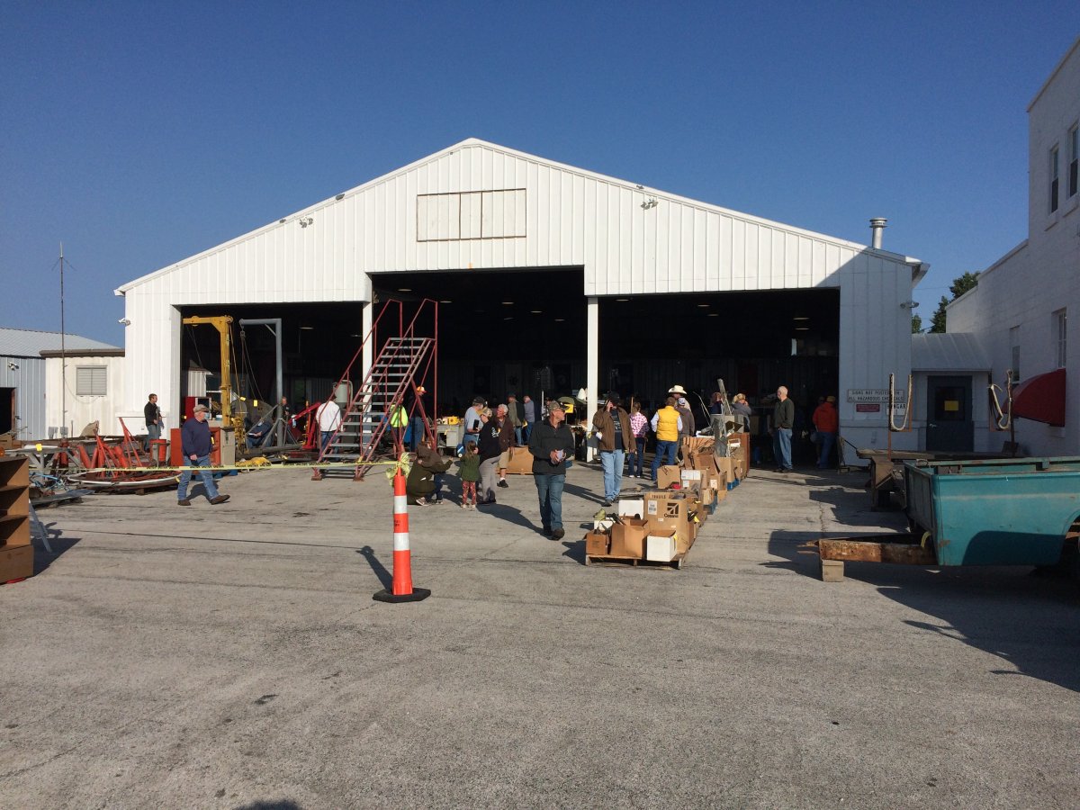
| In the landing traffic pattern, I could see a lot of people on the ground. I landed, and walked up to where all the people were. I asked another pilot what was going on. He said the FBO was closing, and auctioning off all their stuff this morning. The auction was about to start in a few minutes. |
| |
 |
|
|
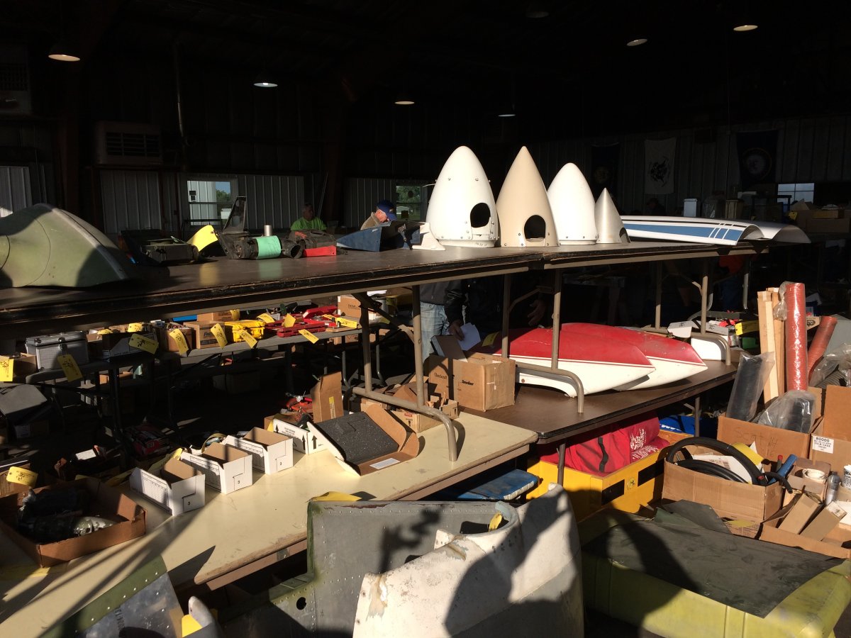
I walked through the hangar and looked at all the stuff. If was like walking through the flymarket at AirVenture or Sun 'N Fun. They did have a case of oil, but I didn't have time to stick around and bid on it.
|
| |
 |
|
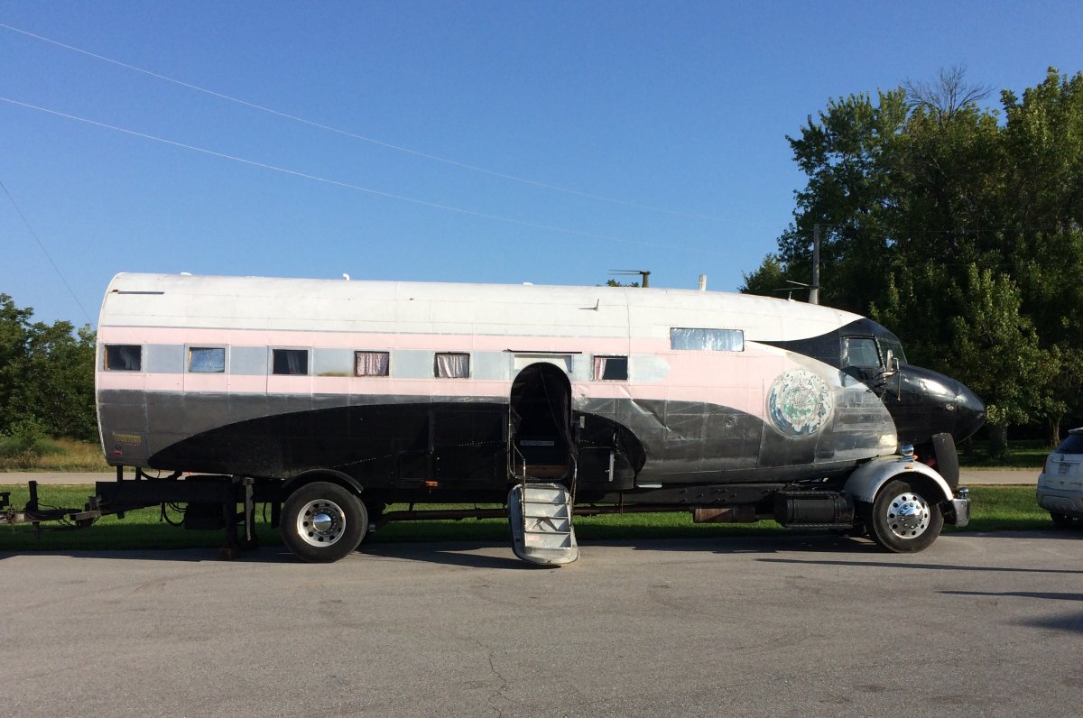
| Just outside the gate was this DC-3 fuselage converted into a trailer home! |
| |
 |
|
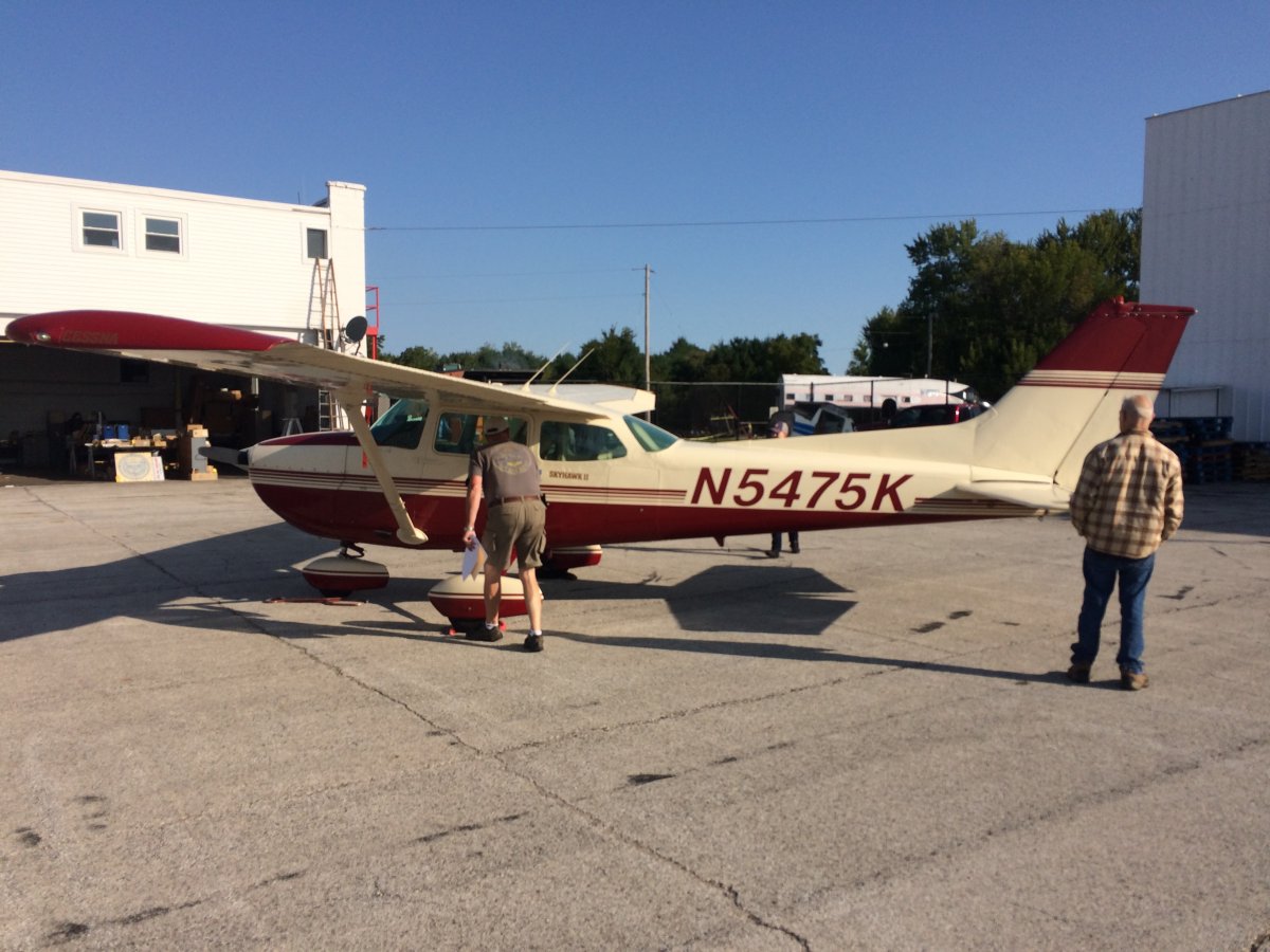
| This Cessna 172 was being auctioned off as well. I'm sure there were some good deals to be had, but it was also sad to see the FBO closing. |
| |
 |
|
| On my way again across the cornfields. |
| |
 |
|
|
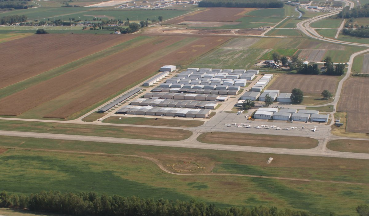
My next stop in the quest for oil was Hannibal Regional Airport, in Hannibal, Missouri, made famous by Mark Twain.
Hannibal was the boyhood home of Mark Twain and the settings of Twain's novels The Adventures of Tom Sawyer and Adventures of Huckleberry Finn are inspired by this town.
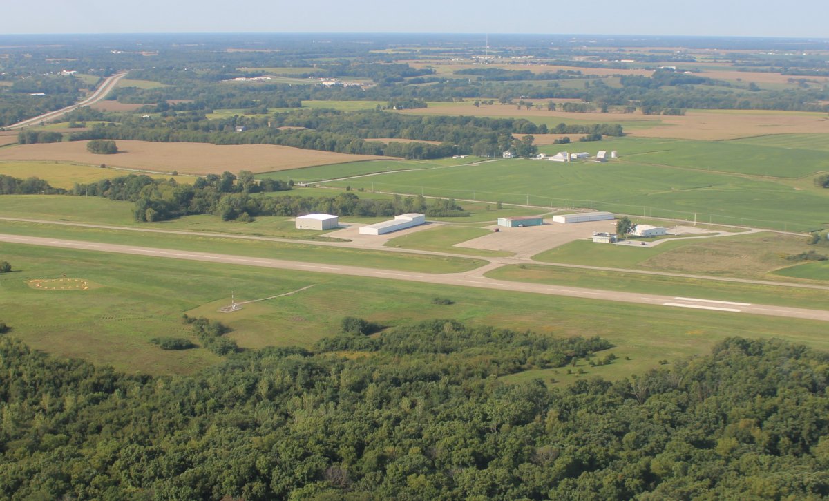
Unfortunately the airport was absolutely deserted. It was the weekend (Saturday) but still, the weather was perfect; you'd think there would be some aviation activity.
|
| |
 |
|
|
This quest for oil was getting ridiculous. I didn't want to spend the day landing at one deserted airport after another. Then it occurred to me. I could stop at Creve Coeur Airport, on the west side of St. Louis. I knew the airport, having landed there in 2011 on my Santa Fe Trail long cross-country. I knew it was a busy, attended, grass roots airport. I had thought about stopping there anyways, to check out the airplane museum. Yeah, perfect!
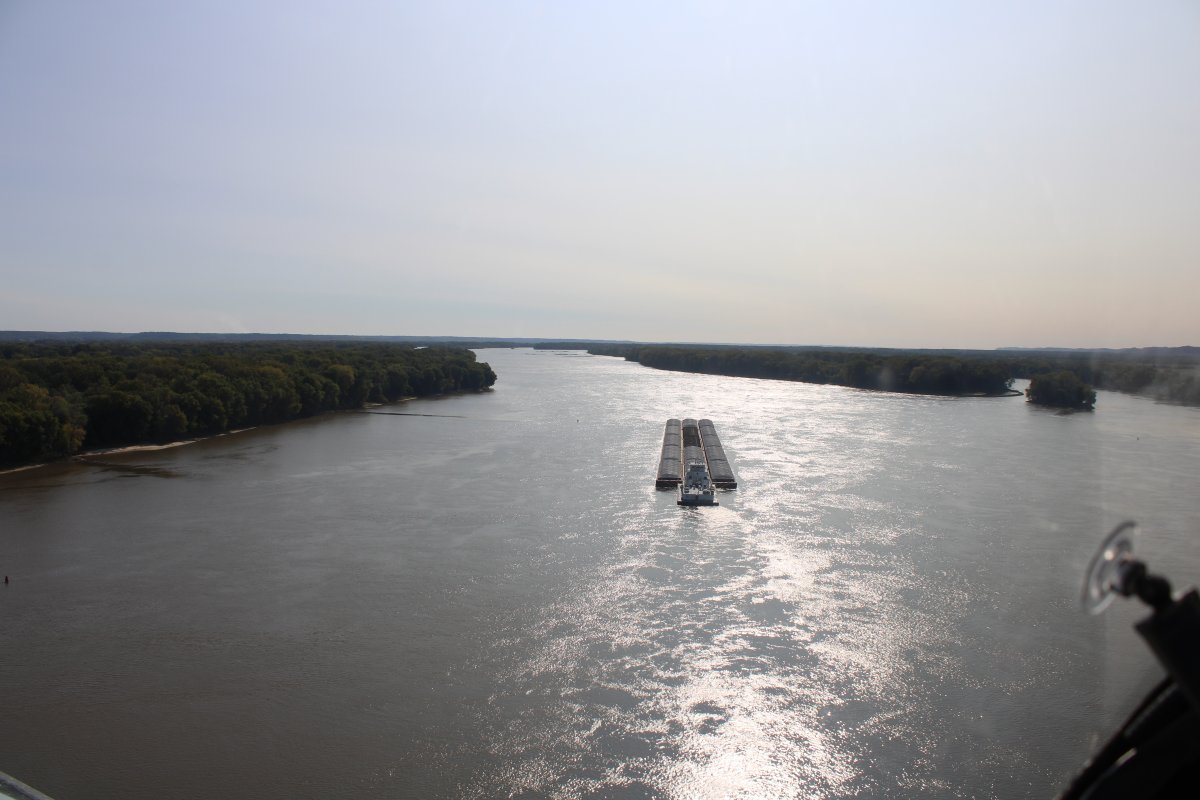
Approaching a big -- 15 barges - rig heading down river.
|
| |
 |
|
|
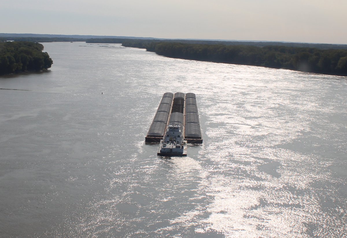
A closer look. I think the barges have covers over them.
|
| |
 |
|
| Old, abandoned barges with trees growing out of them. Life will find a way! |
| |
 |
|
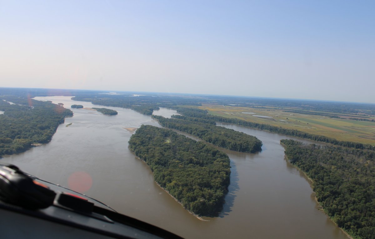
| Exporting one of the many islands in the river. |
| |
 |
|
| Typical scene. |
| |
 |
|
|
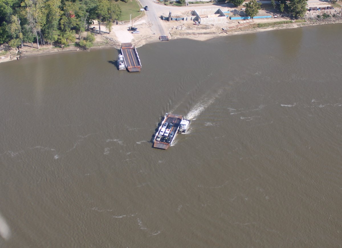
There are many bridges across the Mississippi but at least one car ferry operates, as seen below.
|
| |
 |
|
|
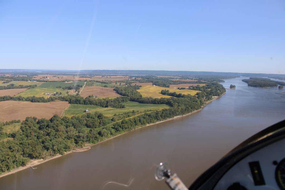
The left bank is still Illinois.
|
| |
 |
|
| From fields to forest. |
| |
 |
|
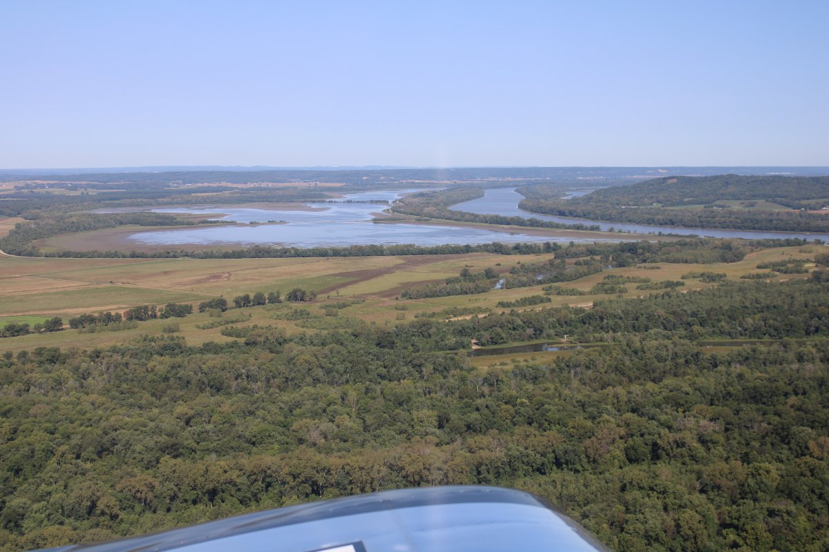
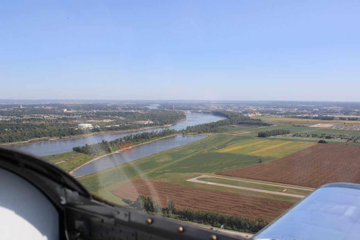
| The Mississippi turns east above St. Louis. Here, I'm looking north at the Illinois River which is about to join the Mississippi from the north. . |
| |
 |
|
|
A closer look at the Illinois River.
|
| |
 |
|
| I made a counter-clockwise loop around St Charles County Smartt Airport, north of St. Louis, then headed west towards Creve Coeur. St. Charles, a non-towered airport, was active with multiple planes in the pattern. Good to see an airport with airplanes flying. |
| |
 |
|
|
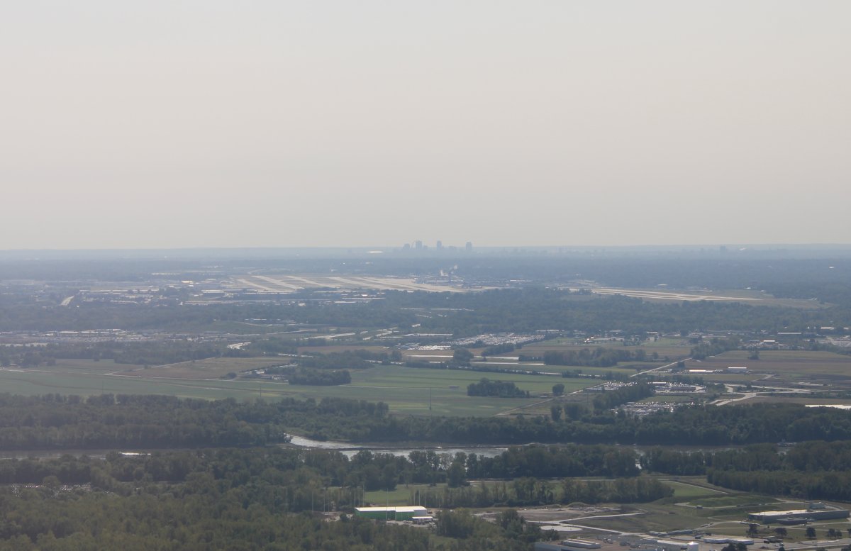
As I flew west, I passed just to the north of the big St Louis Lambert International Airport (KSTL), with the St. Louis skyline in the background.
|
| |
 |
|
|
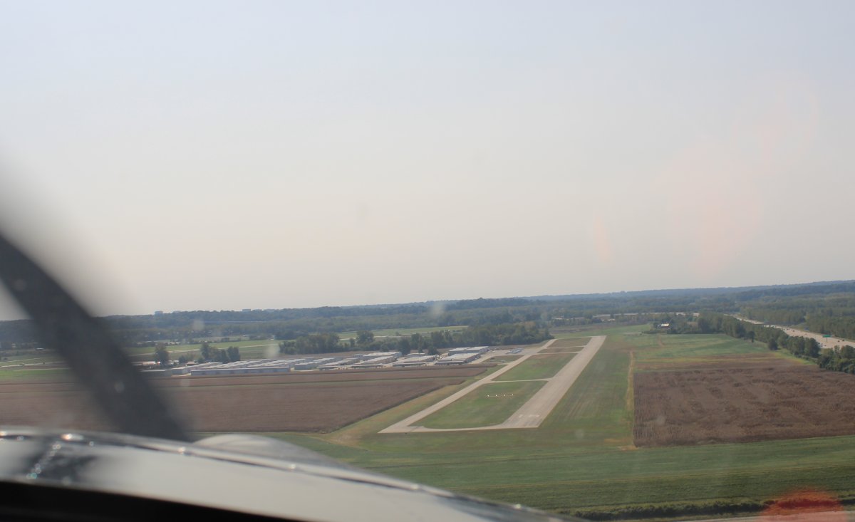
As I approached Creve Coeur (1H0), I heard two Stearman's annoucing an overhead break for Runway 16. A good omen.
Here I'm on a right downwind for runway 16.
|
| |
 |
|
| Still on the downwind leg, I get a good look of my old friend, the Missouri River, as it runs right by Creve Coeur. |
| |
 |
|
|
On final for Runway 16. The Stearmans had landed on the grass parallal to the asphalt runway so of course I had to do that too. What a mistake! Despite the grass, the ground was really rough. I got back on the paved runway as soon as I could.
On the ground, I topped off with AvGas, and was able to buy a six-pack of aviation oil. I toured the airplane museum. I walked around and checked out all the hangars. A great stop; everything I thought it would be!
|
| |
 |
|
| |
| |
|
|
|
|
|
|